TRAILHEAD · GRAND TETON NATIONAL PARK · WYOMING

Most mountain ranges give you foothills first. A gradual grade up through lower elevations, through transitional terrain, before the real peaks appear. The Teton Range does not. From the floor of Jackson Hole valley at 6,400 feet, the Grand Teton rises 7,000 feet in roughly six horizontal miles, a wall of granite so abrupt and so vertical that the physics of it take a moment to process when you first see it from the flatlands south of the park. This is not a range that introduces itself. Grand Teton National Park contains some of the youngest-looking and oldest terrain on the continent simultaneously: glacially polished peaks of 2.7-billion-year-old Archean basement gneiss thrust up through the valley floor by a fault system that is still active. The mountains look like they arrived yesterday. They have been arriving for 10 million years.
The Paintbrush Canyon to Cascade Canyon loop is the park's definitive trail running circuit: nearly twenty miles through two glacier-carved canyons separated by a 10,720-foot divide at Paintbrush Divide, with 3,900 feet of cumulative gain and views into the Teton backcountry that do not appear in any roadside photograph. The loop begins and ends at String Lake Trailhead, north of Jenny Lake, and can be run as a long day or broken at Cascade Canyon Campground with a backcountry permit. Either way, it is the route that shows you what the Tetons actually are beyond the postcard angle: not a wall, but a range with depth, with canyons, with lakes that sit above 9,000 feet in basins that were filled with glacial ice 12,000 years ago.

Running Paintbrush-to-Cascade counter-clockwise is the standard direction: climb Paintbrush Canyon first, cross the divide, descend Cascade Canyon back to Jenny Lake, then road-walk or trail-run the final miles back to String Lake. The counter-clockwise approach puts the technical section, the switchbacks above Holly Lake that climb to Paintbrush Divide, on fresh legs in the morning. The descent via Cascade Canyon is long and gradual by Teton standards, 9.5 miles from Hurricane Pass at the head of the canyon down to Jenny Lake at 6,783 feet, and it holds enough interest, a waterfall at its midpoint, multiple creek crossings, views of the Grand, Teewinot, and Mt. Owen, to keep the miles from feeling mechanical.
The critical variable is Paintbrush Divide. At 10,720 feet, the divide holds snow into late July in an average year and can be impassable or dangerous for unequipped hikers through early August in heavy snow years. Check current conditions with the Jenny Lake Ranger Station before committing to the loop. If the divide is closed or snow-covered beyond your comfort level, Cascade Canyon as an out-and-back to Lake Solitude is a worthy alternative: 14.8 miles round trip, 2,200 feet of gain, ending at a high cirque lake that sits at the base of the peaks' north faces. The route up Cascade Canyon follows a glacially carved valley floor for the first five miles before beginning to climb toward the head of the canyon, and the angle of view changes constantly as the peaks above rotate into new configurations.


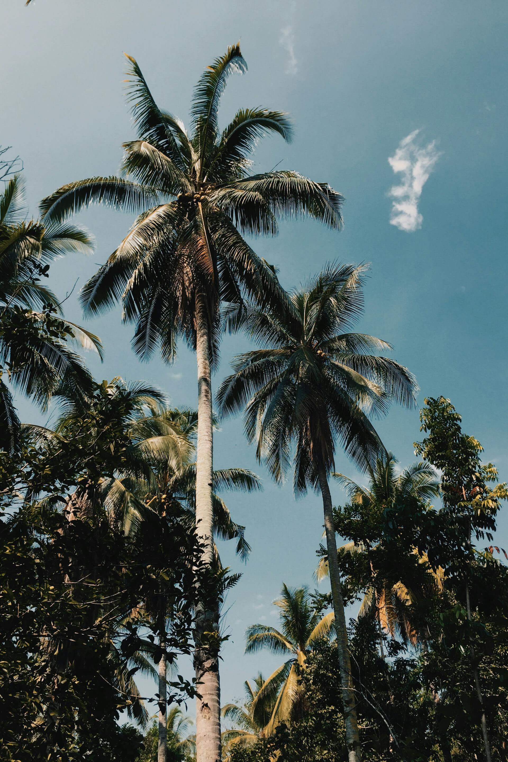
Wildlife density in the Tetons is among the highest of any national park in the lower 48. The park's southern border is shared with the National Elk Refuge, and the greater Yellowstone ecosystem of which Grand Teton is part contains one of the only migratory ungulate herds left in North America: pronghorn that travel 150 miles between their summer range in the Tetons and their winter range in the Wyoming Range. Grizzly bears and black bears are common throughout the park; bear spray is mandatory equipment. Moose are frequently encountered along Cascade Canyon's creek corridor, particularly in the first three miles above the canyon's mouth. Moose do not yield the trail. Give them a wide berth, particularly cows with calves in June and July.
The Tetons also hold one of the most challenging alpine objectives in the American West available to non-technical hikers: the Teton Crest Trail, a 35-to-43-mile route that traverses the park's high backcountry from Teton Village to String Lake. Done over three to five days, it links the park's major passes, including the 10,372-foot North Fork Cascade Pass and the 10,800-foot Death Canyon Shelf, in a continuous arc across the range. Backcountry permits are required for all overnight travel, available through a reservation system that opens in January. Like the Paintbrush-Cascade loop, the Crest Trail demands a logistics investment proportional to the terrain it crosses. Neither route apologizes for what it asks of you. Neither does the mountain. This is consistent with what draws runners to the Tetons in the first place, the same quality found in the demanding ridge terrain of Hurricane Ridge, or the sustained commitment of Glacier's Highline Trail.

Jenny Lake, at the center of the park's main activity area, is the organizational hub for trail access. The Jenny Lake Visitor Center has the most current backcountry information, bear canister rentals, and ranger talks. A small ferry service crosses Jenny Lake to the Cascade Canyon Trailhead from late May through September, cutting 2 miles of trail each way; the last ferry leaves the west shore at 6 p.m. If you are planning to run Cascade Canyon as a day trip and want the ferry option on the return, plan your turnaround accordingly. The String Lake Trailhead, 1.5 miles north, requires no ferry and is the correct start for the full Paintbrush-Cascade loop.


OFFICIAL TRAIL MAPS · GRAND TETON NATIONAL PARK · NPS
Download official Grand Teton National Park trail maps, including the Paintbrush-Cascade Loop, Cascade Canyon, and the Teton Crest Trail, at the NPS Grand Teton Maps page. Backcountry camping permit information and the reservation system are available at nps.gov/grte/backcountry. Check current snow conditions at Paintbrush Divide with the Jenny Lake Ranger Station before any attempt of the full loop.
Bear spray is required equipment throughout the Tetons: carry it accessible on your hip, not in your pack. The Paintbrush Divide section sits above 10,500 feet with no shelter from afternoon lightning; start early and build in time to be below the divide by 1 p.m. A packable wind shell handles the summit exposure and the cold canyon corridors below treeline alike. A merino midlayer manages the significant temperature gradient between the 6,400-foot valley floor and the 10,720-foot divide without excess weight. A running cap with a brim matters on the open alpine sections; your sun exposure above 9,000 feet in Wyoming in July is roughly double what it would be at sea level. Trekking poles are useful on both the Paintbrush Canyon ascent and the long Cascade Canyon descent; carry water filtration for the canyon sources.
The drive south from the park on Highway 89, with the Teton Range in your rearview and the sun dropping behind the peaks, is one of those views that makes the logistics of getting here feel appropriate. You should have to work to reach a range like this. The foothills other mountains have, the gentle approaches that let you ease into the terrain, would diminish what it means to stand at the base of a wall that rose directly from the valley floor without warning. The Tetons are a range that asks you to accept them on their own terms. The trails inside them reward exactly that.