TRAILHEAD · ROCKY MOUNTAIN NATIONAL PARK · COLORADO

The alarm goes off at 2:30 a.m. in Estes Park, and you are already calculating: the trailhead is a twenty-minute drive, the summit is nine miles and 5,100 feet above the car, and the lightning that builds over the Front Range in July and August does not wait for you to finish. Rocky Mountain National Park is home to Longs Peak, the only fourteener in the park and one of the most-attempted high summits in North America, and the first rule of Longs Peak is that you begin before the stars have gone. The second rule is that you move with enough intention to be below the treeline by the time the afternoon convective storms develop. At 14,259 feet, you do not reason with the weather. You schedule around it.
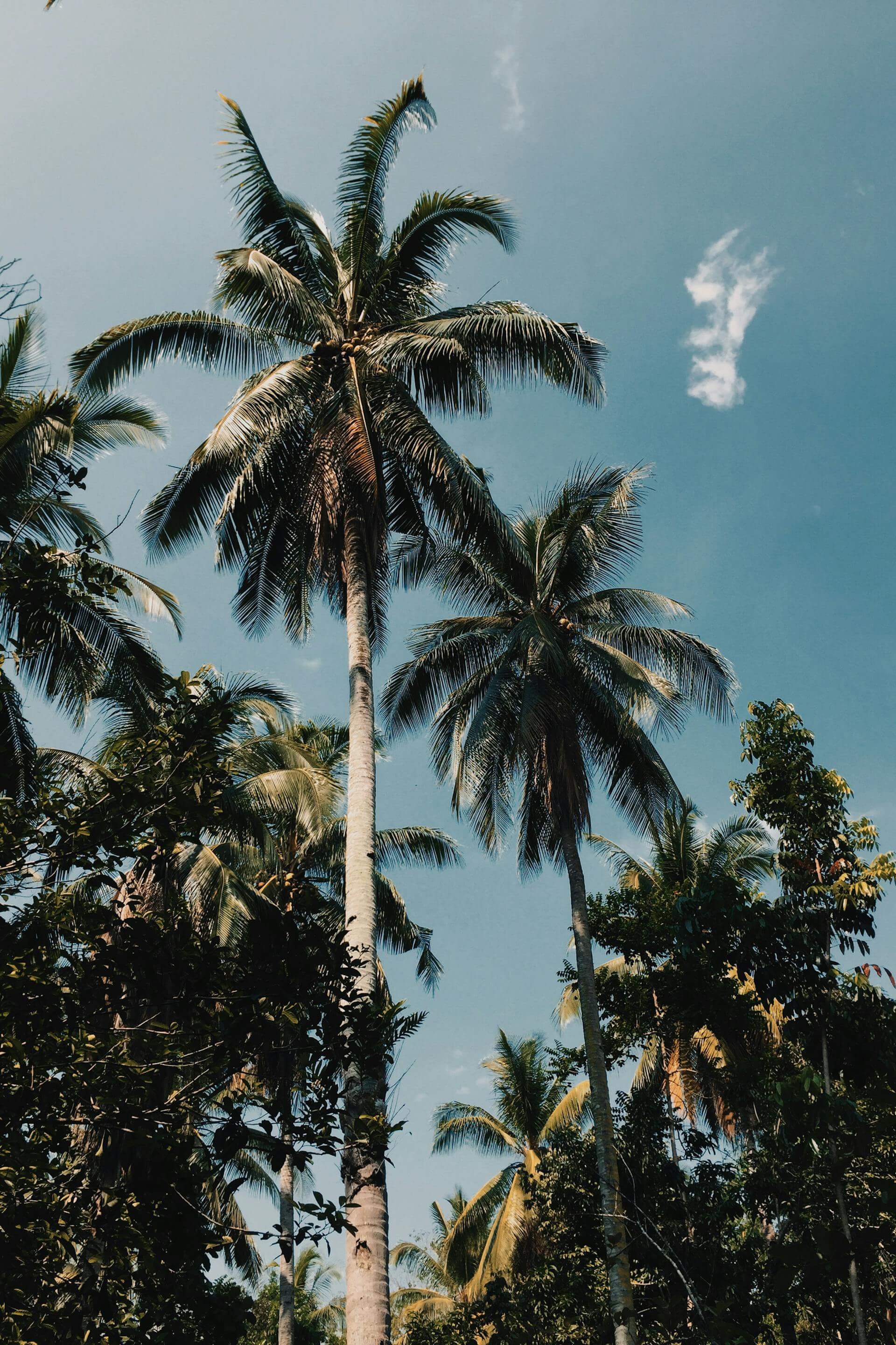
The park sits at the heart of the Colorado Rockies, straddling the Continental Divide, and its elevation profile is unlike any other in the national park system. The lowest point of the park is 7,860 feet. One-third of the park exists above treeline, in the alpine tundra zone that begins around 11,500 feet and continues to the summits. The tundra here is classified as a fragile, slow-recovering ecosystem: the plants that survive it are adapted to a growing season of fewer than 50 frost-free days per year and cannot withstand foot traffic off the established trail. The single step that looks incidental crushes decades of growth. Stay on rock or trail above treeline, always.

The Keyhole Route begins at Longs Peak Trailhead at 9,400 feet, one mile south of the Longs Peak Ranger Station on Colorado Highway 7. The first four miles move through subalpine forest, rising steadily but unremarkably, until the terrain opens at the Boulderfield: a vast expanse of angular granite blocks at 12,760 feet that sits in the cirque below the summit's east face. The Boulderfield is the last place to turn around without consequence. Above it, the route crosses the Keyhole, a notch in the ridge at 13,150 feet, and enters the technical terrain of the summit route's upper three sections: the Ledges, the Narrows, and the Homestretch. These are not trails. They are routes marked by painted bull's-eye targets on the rock, requiring hands and feet in places, exposed to the northwest on the Narrows, with a vertical drop measured in hundreds of feet below each careful footstep.
The Homestretch is the final section below the summit: a 56-degree granite slope pitched at the sky, without trail, without cables, with only the rock itself and your own technique and the altitude that by now is making each breath feel like a smaller transaction than it should. At 14,000 feet, the air contains roughly 40 percent less oxygen than at sea level. The body compensates through increased heart rate and respiration rate, but there is no compensation that fully closes the gap on the first attempt. First-time high-altitude athletes should budget additional time for the summit section and consider an acclimatization day at elevation before the attempt. Estes Park sits at 7,522 feet; a full day there before the climb is time well spent.


Longs Peak is accessible without a permit for day hikers, which is one of the reasons it receives approximately 30,000 summit attempts per year. The NPS does not manage summit traffic on Longs Peak the way Yosemite manages Half Dome. There is no quota. What this means in practice is that on clear summer weekends, the Boulderfield at dawn is densely populated and the Keyhole creates a queue. Starting before 3 a.m. gives you the upper mountain to yourself. Starting at 5 a.m. puts you in a crowd at the technical sections. The mountain does not get less serious with more people around it.
For those who want the high-altitude tundra experience without the summit commitment, the Trail Ridge Road is the access point. Reaching 12,183 feet at its high point near Fall River Pass, it is the highest continuous paved road in the United States and one of the few places in the country where you can drive to the alpine tundra and walk directly onto it. The Tundra Communities Trail at Rock Cut, a 1.6-mile round trip at 12,110 feet, traverses the open tundra with interpretive signs about the plant communities that survive here, including the cushion plants, sedges, and lichen that represent the upper limit of biological possibility in this ecosystem. It is a good introduction to the terrain that Longs Peak's upper mountain makes extreme. For comparable high-altitude desert approach and altitude discipline, consider the canyon immersion of Zion Narrows or the desert-morning precision of Sedona After Sunrise.

The park's west side, accessible via the Kawuneeche Valley and the town of Grand Lake, offers a different character entirely from the Estes Park east entry. The Colorado River begins here as a high-elevation meadow stream and the terrain is gentler, with the Never Summer Range forming the western boundary of the park. The Tonahutu Creek Trail enters the backcountry from Grand Lake and climbs to Haynach Lakes at 11,600 feet over 10.2 miles. The Coyote Valley Trail, accessible by wheelchair, follows the Colorado River through willows and open meadow where moose are frequently encountered in the early morning. This side of the park feels slower, cooler, wetter, the west slope of the Continental Divide receiving more precipitation than the rain-shadow east side, and the forests here hold a different texture: darker, wetter, more enclosed, with the creek audible throughout.


The NPS app carries offline maps for Rocky Mountain National Park's full trail system, including Longs Peak, the Trail Ridge Road corridor, and the Kawuneeche Valley. Load your route before you leave cell service in Estes Park: coverage above treeline is unreliable and nonexistent above the Boulderfield. The app's webcam feature shows current road conditions on Trail Ridge Road, which closes at the first significant snowfall (typically by mid-October) and reopens in late May. For Longs Peak, offline trail data and the latest ranger alerts on route conditions are available in-app. Download free on the App Store and Google Play.
OFFICIAL TRAIL MAPS · ROCKY MOUNTAIN NATIONAL PARK · NPS
Download official trail maps for Longs Peak, Trail Ridge Road, and all Rocky Mountain National Park routes at the NPS Rocky Mountain Maps page. A wilderness permit is required for overnight backcountry camping; permits are available through the Rocky Mountain backcountry permit system. Day use on Longs Peak does not require a permit.
Source: National Park Service — Rocky Mountain National Park
A 3 a.m. start on Longs Peak begins cold: a merino baselayer worn under a wind shell handles the pre-dawn cold at the trailhead and can be stripped as the climb heats up in the Boulderfield. The summit wind can drop effective temperature by 30 degrees from calm conditions: carry both layers even on warm forecast days. A technical cap handles sun at altitude; a lightweight buff or beanie handles the summit wind. At 14,259 feet, UV exposure is roughly double what it is at sea level: sunscreen, even on cloudy mornings. Trekking poles are helpful on the Homestretch descent and the return through the Boulderfield. Start with more water than you think you need: the altitude drives fluid loss and suppresses the thirst response simultaneously.
On the summit of Longs Peak, when the weather is clear and you have timed it correctly, the view covers 100 miles of the Front Range in both directions, from Pikes Peak to the south to the Wyoming border to the north. Below you is the Boulderfield, and below that the subalpine forest, and below that the valley of Estes Park, and below that the Great Plains beginning their run east to the Mississippi. The air at 14,259 feet is the same air as everywhere else. You just notice it differently up here. That is the whole point of coming: not the view, not the summit photo, but the quality of attention that altitude imposes when you are high enough that the body has to work for what it normally takes for granted. The air above twelve thousand feet asks you to be present. There is not enough of it to waste on anything else.