TRAILHEAD · YOSEMITE NATIONAL PARK · CALIFORNIA

The trail up Half Dome begins in shadow. At the Happy Isles trailhead, before dawn has pushed full light into the Valley, you clip your permit to your pack and start moving toward the sound of the Merced River, feeling the weight of a vertical mile in your legs before you have taken a single step upward. Yosemite National Park draws more than four million visitors a year to this one granite canyon in the central Sierra Nevada. The people who understand the park are the ones who leave the Valley floor: who push above the treeline into the high country, who earn the view from the top of a dome that was separating from its surrounding pluton two million years before any human stood at its base and looked up.
The park's geology is written plainly for those willing to read it. Half Dome is not the half of anything: it is a complete dome whose northwest face was sheered away by glaciation, leaving the vertical wall that rises 2,000 feet above Mirror Lake below. The granite here is part of the Sierra Nevada Batholith, a mass of crystallized magma formed 80 to 120 million years ago and exposed over millennia as overlying rock eroded away. Running through Yosemite is an act of reading this text one mile at a time, from the Valley floor, past each waterfall, all the way to the high country above Tuolumne Meadows at 8,600 feet.

The Half Dome permit system limits daily summiting to 300 hikers, split between a pre-season lottery and day-before walk-up permits. This is not a trail you wander onto. You apply in the previous March, or you wake before 6 a.m. the morning before your desired date and watch the walk-up permit portal open. The trail begins at Happy Isles: the Mist Trail to Vernal Fall at 1.5 miles, then Nevada Fall at 3.5 miles. Between them is a landscape of near-continuous vertical, granite steps worn smooth by millions of boots, mist from Vernal Fall coating everything. The Merced River is audible throughout, always below, pulling sound down from the heights where you are trying to go.
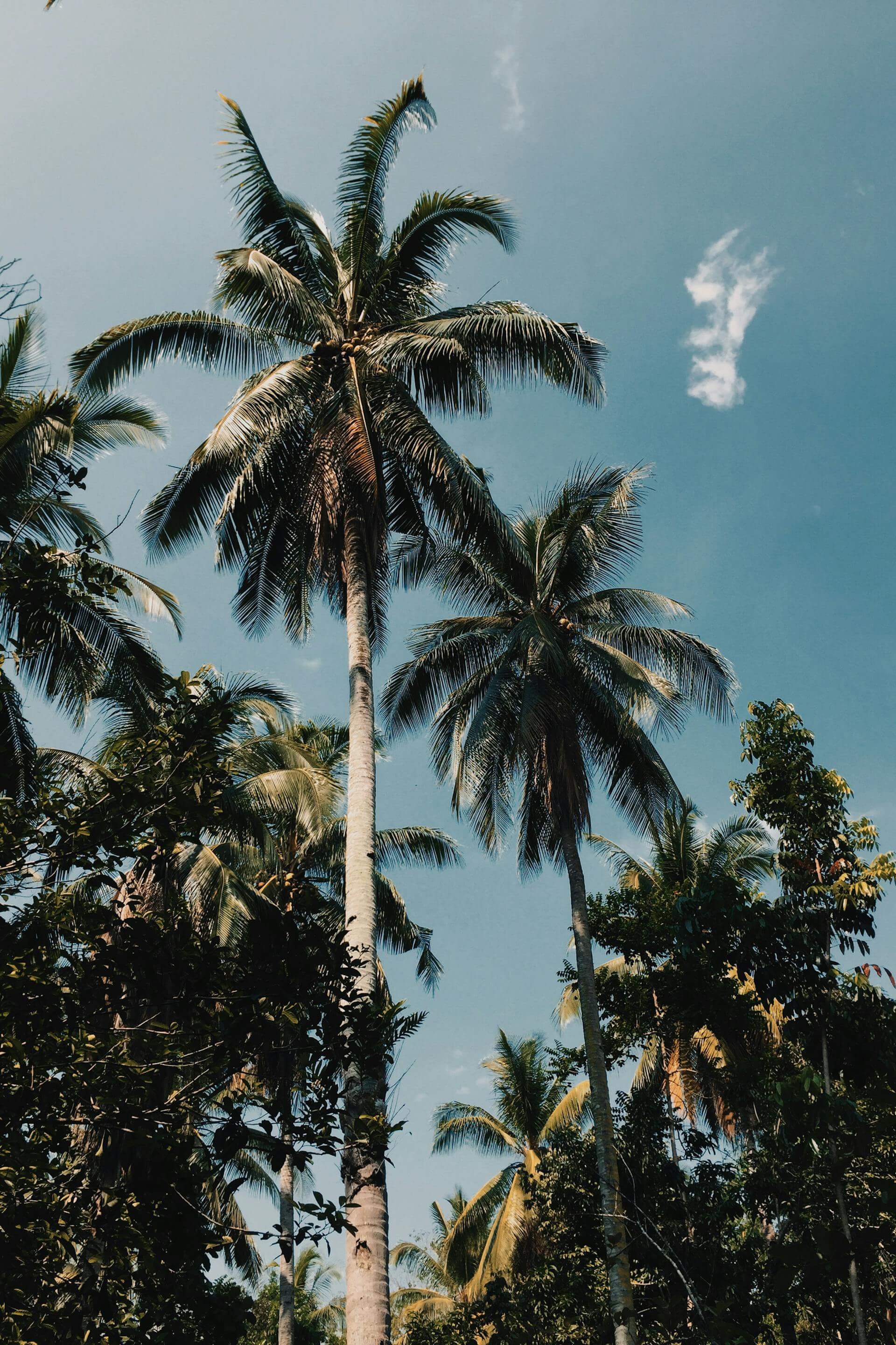
Above Nevada Fall, the trail enters the quieter backcountry zone. The crowds thin as the John Muir Trail diverges and the terrain opens into granite slabs and scattered Jeffrey pine. The sub-dome begins at mile seven: 600 feet of steep, exposed granite steps that require hands and feet in places and offer, from every angle, unobstructed views back down the canyon to the Valley floor 4,000 feet below. On clear mornings in early summer, the light falls into this stone corridor at the precise angle that the Sierra Nevada was tilted by tectonic uplift, and the granite turns from gray to warm gold. It becomes obvious why Ansel Adams spent decades in this one square mile of mountains, and why the photographs were never quite enough.


The cables go up in late May and come down in mid-October. Two parallel steel cables, each anchored into granite every 10 feet by vertical rods, run the final 400 feet to the summit. The NPS provides gloves at the base for hikers who forget their own; take them. The granite where the cables run is nearly vertical in places, sloped just enough that you pull with your arms as well as push with your legs. When you stop on one of the wooden planks bolted horizontally across the cable route, you look down the face of Half Dome and understand that you are committed: the descent is harder than the ascent, because on the way down you face the granite and look directly down 2,000 feet to the Valley.
The summit of Half Dome is a broad, flat granite expanse tilted slightly northwest, roughly the size of a football field. On a clear day the view extends 300 miles: north to Tuolumne Meadows and the peaks above it, east to the Ansel Adams Wilderness, south along the High Sierra Crest, and west down the length of Yosemite Valley to El Capitan and, beyond it, the Central Valley of California. From here the Valley looks exactly as small as it is: a glacial trough two miles wide, seven miles long, carved by ice that has been gone 20,000 years, whose shape still defines everything anyone knows about this place.

Most hikers descend the same route: roughly five hours if you move steadily and conditions are clear. The alternative is to continue along the John Muir Trail into the Yosemite backcountry and return via Little Yosemite Valley, which requires a wilderness permit and at least one overnight. The backcountry is where the park changes character entirely. Once past Half Dome Village at the base of the sub-dome, the density of people drops sharply, and the park reasserts itself as the high-altitude Sierra Nevada wilderness that John Muir was describing when he called these mountains “the Range of Light.” If the Valley is the introduction to Yosemite, the high country above 8,000 feet is the real text.
For those arriving outside the Half Dome permit season, the Valley trails offer their own rewards. The Yosemite Falls Trail is seven miles round trip with 2,700 feet of gain: in late spring, when snowmelt is at its peak, the falls run at their full 2,425 feet and are audible from the Valley floor a mile away. The Four Mile Trail to Glacier Point climbs 3,200 feet to the southern rim overlook. The Valley Loop connects the park's major landmarks over twelve relatively flat miles. Each route leads to a different reading of the same geology, the same glacial canyon, the same Sierra Nevada light. Consider pairing a Yosemite visit with the Pacific Coast running corridors documented in Point Reyes: Running the Edge of the World, or head southeast for the canyon immersion of Zion Narrows: The River Is the Trail.


Download the official NPS app before you drive into the Valley. It carries offline maps for every park in the system, webcam feeds showing current road and trail conditions at Yosemite, shuttle schedules, and permit information for Half Dome and the backcountry. Cell coverage on the Mist Trail above Vernal Fall is limited, and nonexistent across the sub-dome and summit: an offline map of your full route pre-loaded before you start is not optional equipment. The app includes a park-visit log, webcams, and a Find a Park tool that works without a signal. Available free on the App Store and Google Play.
OFFICIAL TRAIL MAPS · YOSEMITE NATIONAL PARK · NPS
Download or view official Yosemite trail maps, including the Valley floor, wilderness zones, and Tuolumne Meadows, at the NPS Yosemite Maps page. The Half Dome Cables Trail is marked on the Yosemite Valley Trails map. Print a copy before you go: cell coverage on the upper Mist Trail and sub-dome is unreliable.
The cable section requires gloves: the NPS provides them at the base, but your own means no wait. On the Mist Trail above Vernal Fall, you will get wet regardless of weather; a packable wind shell that stuffs into its own pocket is worth the weight on the ascent and earns its keep on the exposed summit. At elevation above 8,000 feet, temperatures swing 40 degrees in a single day: a merino midlayer handles both the dawn cold at Happy Isles and the exposed summit at noon without the bulk of insulation. A technical running cap handles sun protection on the open granite and packs flat for the descent. All Half Dome hikers must pack out solid waste; wag bags are available at the trailhead.
The last view from the summit of Half Dome is west. El Capitan is directly across the Valley, its 3,000-foot face catching whatever light remains in the afternoon. There are climbers on that wall right now, somewhere on the Nose or the Salathe, bivouacked on a portaledge halfway through a multi-day ascent. The Valley floor below is full of people who will not come up here. The summit is full of people who did. The granite is the same for everyone. What changes is the angle from which you read it, and Yosemite above the Valley floor is a different park from the one in the photographs: quieter, larger, and harder to leave.