TRAILHEAD · MOUNT RAINIER NATIONAL PARK · WASHINGTON

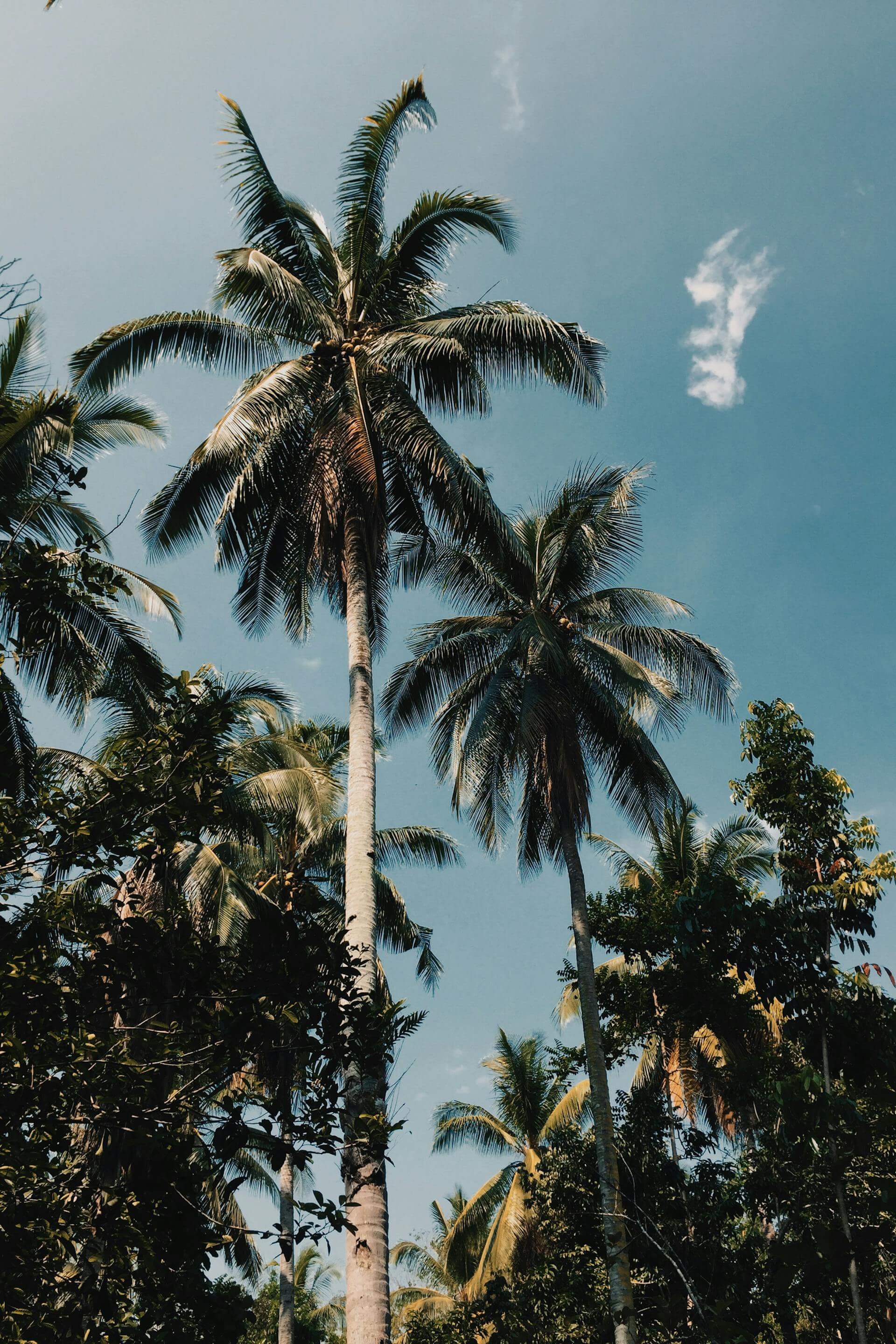
Mount Rainier is a stratovolcano, which is a useful fact to carry with you on the Wonderland Trail because the trail exists specifically to circumnavigate this fact. At 14,411 feet, Rainier is the highest peak in the Cascade Range and holds more glacial ice than any other mountain in the contiguous United States: 26 named glaciers covering approximately 35 square miles of its flanks, all of which are receding. The volcano last erupted approximately 150 years ago and is classified as active by the USGS. Mount Rainier National Park was established in 1899 and protects 369 square miles of volcano, old-growth forest, subalpine meadow, and the headwaters of five river systems. The Wonderland Trail traces the park's boundary for 93 miles through all of it.
The Wonderland Trail was completed in 1915, two years after the park's first ranger station was built, and has been maintained continuously since. It drops from alpine meadows at 6,000 feet through temperate rainforest to river valleys at 2,400 feet and back up again, with 22,000 feet of total elevation gain over its full circuit. No point on the trail is more than about eight miles from a road crossing. This is not a remote trail in the traditional sense: it is a trail designed to allow complete access to a single mountain from every angle simultaneously, and in that sense it has no equivalent in the park system. To run the full circuit is to develop a relationship with one mountain that most trail runners never develop with a place: the mountain as a complete object, understood from every compass point, at every elevation, in every weather system it generates.

The Wonderland Trail is managed through a backcountry camping permit system that requires reservations for every night on the route. A lottery opens in mid-March for peak-season dates (July through September), and permits sell out within hours of the lottery opening. Walk-up permits are available at park entrance stations for cancellations, but reliable trip planning requires the lottery. Fastpackers completing the route in two to four days typically time their crossings of the high route sections, particularly the section above Carbon Glacier on the north side and the Spray Park section on the northwest, for the brief window in late July and August when snow has melted enough for safe travel without microspikes. Most years, that window is six to eight weeks long.
The Carbon Glacier section, on the trail's northwest arc, is where Rainier's geological character becomes most immediate. The Carbon Glacier descends to 3,700 feet, the lowest terminus of any glacier in the lower 48 states, and the Wonderland Trail crosses the Carbon River on a log bridge just below the glacier snout, where the ice is gray with rock flour and the river runs milky with glacial meltwater. The temperature at the glacier's edge is 15 to 20 degrees colder than the surrounding forest. The sound is of constant water and occasional ice crack. Standing at the base of an active glacier at the edge of a temperate rainforest within a national park is one of those experiences of physical geography that does not translate into language and is not improved by photographs.


The Paradise area, on the mountain's south side at 5,400 feet, is the park's primary visitor hub and the trailhead for the most popular day-run options. The Skyline Trail is a 5.5-mile loop above Paradise meadows with 1,400 feet of gain, passing through the wildflower fields that bloom in July and August in one of the most documented wildflower displays in the Pacific Northwest. The Panorama Point section of the Skyline Trail sits at 6,800 feet and looks directly up the mountain's south face to the summit, 7,600 vertical feet above. The Summerland Trail, accessible from the White River entrance on the east side, climbs 8.5 miles round trip through old-growth subalpine fir to the Summerland meadow at 5,900 feet and then continues, for those with route-finding skills and microspikes in early season, another 2 miles to Panhandle Gap at 6,800 feet: the Wonderland Trail's highest point and the place where the mountain's east-facing glaciers come into view simultaneously.
Rainier generates its own weather systems. A clear summit in the morning can be socked in by noon, and the park's position in the Pacific storm track means that precipitation, often as snow above 5,000 feet even in summer, can arrive with less than an hour's warning. The Paradise ranger station records an average of 680 inches of snowfall per year, the highest measured snowfall of any location in the United States. The Wonderland Trail's high sections retain snow into August. Start early, carry layers you actually intend to use, and monitor weather at the NPS Rainier weather page before any high-route day. For west-side mountain terrain with similar precipitation character, consider the canyon terrain of Columbia River Gorge, or the coastal exposure of Point Reyes.

Sunrise, on the park's northeast rim at 6,400 feet, is the highest point in the park accessible by road and is the trailhead for the Burroughs Mountain Trail: a 9-mile loop with 3,000 feet of gain that crosses the barren volcanic pumice fields of Second Burroughs Mountain at 7,400 feet, where the terrain resembles the lunar surface more than anything below treeline. The views from Burroughs into the White River Glacier and the summit icecap are among the most direct in the park. The Sunrise area is also where Rainier's geological character as an active stratovolcano becomes most evident: the surrounding terrain is composed of lahars, volcanic mudflows that swept down from the summit during prehistoric eruptions and hardened into the irregular terrain that the trails now cross. In a future eruption, this is the material that would move first.


OFFICIAL TRAIL MAPS · MOUNT RAINIER NATIONAL PARK · NPS
Download official trail maps for the Wonderland Trail, Paradise, Sunrise, and all Mount Rainier National Park routes at the NPS Rainier Maps page. Wonderland Trail permit reservations open via lottery in mid-March. Walk-up permits are available daily at park entrance stations starting at 7 a.m. for that night's travel. Current snow and trail conditions are updated regularly at nps.gov/mora/trail-conditions.
Rainier weather changes fast and the consequences of being underdressed above 5,000 feet are immediate. A waterproof wind shell is mandatory on any high-route day: the mountain's proximity to the Pacific storm track means precipitation arrives without significant warning. A merino midlayer handles the temperature gradient from the 2,400-foot river valleys to the 6,800-foot high route sections; a base layer of merino manages moisture during the sustained climbing sections. A technical cap with sun protection matters above treeline in the high-UV summer months; a lightweight beanie is worth carrying for the exposed ridge sections and the always-cold Carbon Glacier approach. Microspikes are recommended for Panhandle Gap and the Wonderland Trail north-side sections before mid-August. Carry water filtration: glacial meltwater sources are abundant but require treatment.
The Wonderland Trail takes you around Rainier but it never takes you away from it. The mountain is visible or audible, in the sound of its glacier-fed rivers, from almost every point on the route. At 14,411 feet it dominates the skyline from 100 miles in any direction, and at close range, from the trail itself, it fills the sky in a way that makes the concept of a horizon temporarily irrelevant. Running the full circuit is a way of accepting that relationship on the mountain's terms: not the summit, not the view from the road, but the full circumference, all 93 miles, in all conditions, until you understand what it means to share a landscape with something this large. The Wonderland Trail has been teaching people that lesson since 1915. It has not run out of mountain.