TRAILHEAD · POINT REYES NATIONAL SEASHORE · MARIN COUNTY, CA

The fog moves in from the Pacific like a slow tide, filling the valleys before it crosses the ridgeline. By the time you hit the Bear Valley trailhead you can hear the ocean long before you can see it: a low roar somewhere behind the white. Point Reyes keeps the most dramatic thing for last.
This is a run that asks something of you before it gives anything back. The first four miles are inland. Meadow grass bends under marine wind, Douglas fir grows dense enough to block the sky, the trail runs wide and well-packed and deceptive in its ease. Then the land opens. Then there is a cliff. Then there is the ocean, two hundred feet below, churning white against black rock.
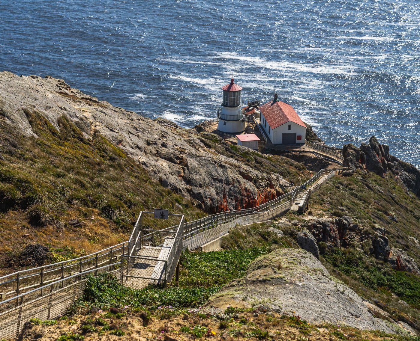
The Bear Valley to Arch Rock route is the corridor most trail runners reach for here. Eight miles of near-perfect trail design: gradual climb, sheltered forest, then a payoff at the bluff edge. The arch is a rock formation above a sea tunnel carved by ten thousand years of Pacific wave action. Stand at the edge long enough and you will feel the ground vibrate.
The Tomales Point trail is the alternative: longer, rawer, better if you want to run alongside tule elk. The herd is semi-habituated to runners and will watch you pass with genuine disinterest. This is their territory. You are passing through.


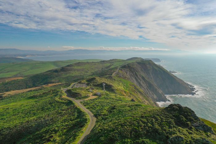
Point Reyes is a peninsula in the truest sense: water on three sides, the San Andreas Fault on the fourth. The land is on a different tectonic plate than the rest of California, drifting northwest at two inches per year. You are running on something that is, geologically speaking, leaving.

Run here early. Before 8am in summer. The parking lots fill fast and by mid-morning the trail becomes a pedestrian corridor. Come early enough and you will share it with nothing but elk and red-tailed hawks working the thermals off the bluffs.


OFFICIAL TRAIL MAP · POINT REYES NATIONAL SEASHORE · NATIONAL PARK SERVICE
Source: National Park Service -- Point Reyes National Seashore
Wind on the bluffs runs cold even in July. Bring a wind layer. Cell coverage drops to zero past mile two; download the NPS map offline before you go. Water at the Bear Valley Visitor Center only. Carry two liters minimum.
The run ends where it starts. But the image stays: the white of the wave break two hundred feet below, the brown of the arch, the grey of the fog above. Point Reyes does not give you a runner's high. It gives you something quieter: a sense of scale, and a reminder of what the coast looked like before we arrived.