TRAILHEAD · MALIBU CREEK STATE PARK · SANTA MONICA MOUNTAINS, CA

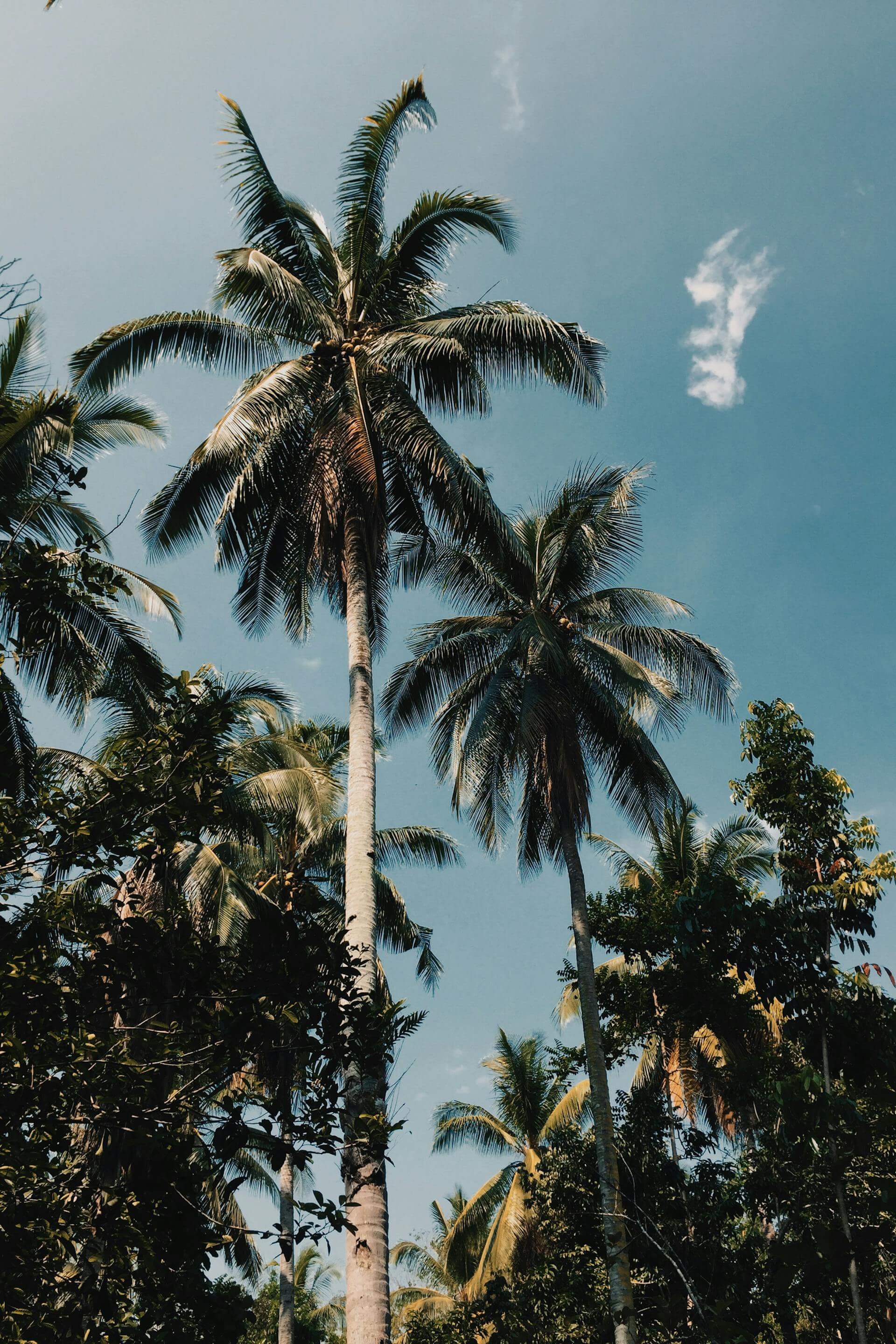
Los Angeles has a secret and it goes by Malibu Creek. Not the creek itself; everyone knows the creek. The secret is the 4,000 acres of state park surrounding it: volcanic rock formations, coast live oak corridors, a reservoir that appears out of nowhere at mile three, and a trail network dense enough to run a different loop every weekend for a month without repeating ground.
The park sits in a bowl of the Santa Monica Mountains, accessible off Las Virgenes Road in Calabasas. Most people drive past it. The ones who stop find something that does not look like Southern California is supposed to look: something rougher, older, less resolved. The chaparral is shoulder-height on the climbs. The creek crossings are real. The rock outcroppings above the reservoir are volcanic, remnants of a time when this hillside was something else entirely.
The MASH loop is the standard line, named for the 1970s television show filmed here because the terrain reads as Korean hills to a camera. Five miles, 800 feet of elevation, a creek crossing within the first mile, a stretch of singletrack through oak shade, and the reservoir appearing through the trees at the turnaround. It is a run you can finish before the day gets hot.
For runners who want more, the Bulldog Trail climbs out of the valley into exposed chaparral and delivers 2,100 feet of elevation gain over six miles before connecting to the Backbone Trail, the 67-mile ridge run that crosses the entire Santa Monica range. From the Bulldog summit at 2,200 feet, on a clear morning before the marine layer burns off, the Pacific is visible to the southwest and the San Fernando Valley is visible to the north simultaneously.


The park hosts a mountain lion population. This is not a warning that should keep you out; it is information. The Santa Monica Mountains Conservancy has been tracking the local prides for twenty years and the NPS names the ones it monitors. P-22, the famous Griffith Park lion, died in 2022 after a decade in an urban island. The lions in Malibu Creek have more room. Trail runners who move alone and at dusk should make noise on the narrow sections.


TRAIL MAP · MALIBU CREEK STATE PARK · CALABASAS, CALIFORNIA
The creek crossings are ankle-to-knee deep depending on season; trail shoes that drain are preferable to waterproof. Heat builds fast in the chaparral after 9am from May through October, so carry more water than you think you need and pack a light layer for early starts. A $10 day-use fee applies. Parking is limited on weekends; arrive by 7am.
Malibu Creek is what the Santa Monica Mountains were before the freeways arrived. Twenty-six miles from the Pacific Coast Highway, it runs on its own schedule, at its own pace, entirely indifferent to the city below. That is precisely why it is worth the drive.